Considering that even a bad day of outdoor radio adventures beats a good day at work, I decided to take a Friday off for the purpose of activating W6/NC-350 a.k.a Loma Alta. Besides, my hiking buddy had to work the rest of the Memorial Day weekend.
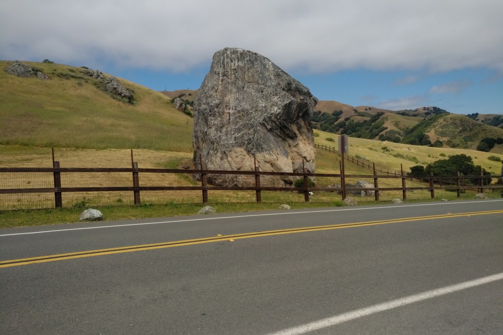
The approach we chose was to park at Big Rock on Lucas Valley Road and follow the Loma Alta fire road to the summit.
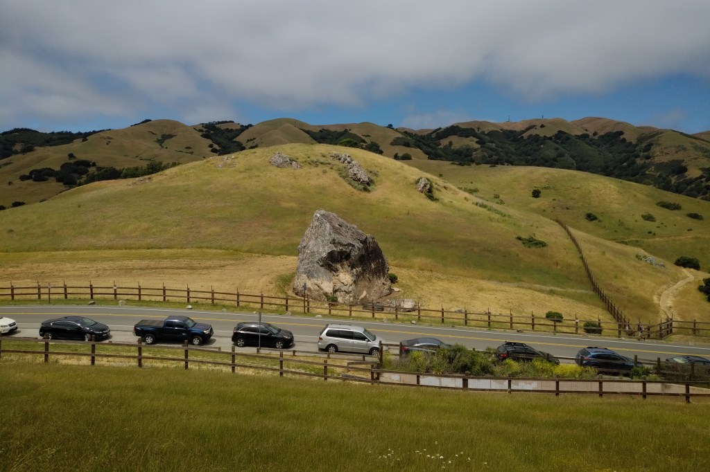
Parking is limited to a dozen or so cars along the road. Get here early, or better, come on a weekday as I’m guessing the parking fills quickly on a weekend.
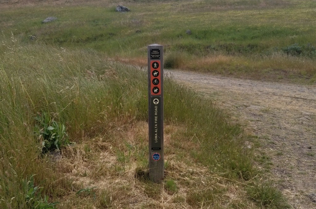
The Loma Alta fire road begins behind a gate on the south side of the road where some recreation information is posted. Basically, stay on the trail, close gates behind you, and don’t pester the wildlife.
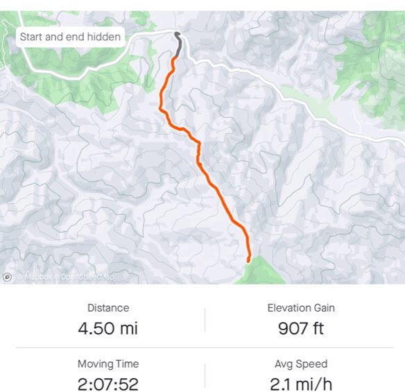
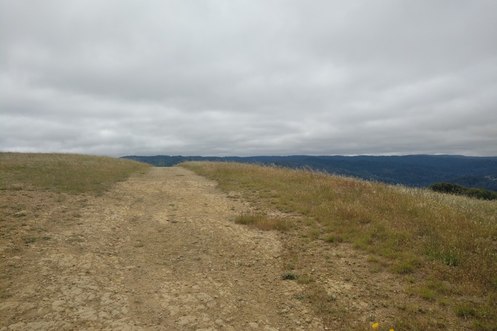
The hike is four and half miles round trip with 900 feet of elevation gain along the way. The summit is at 1592 feet above sea level.
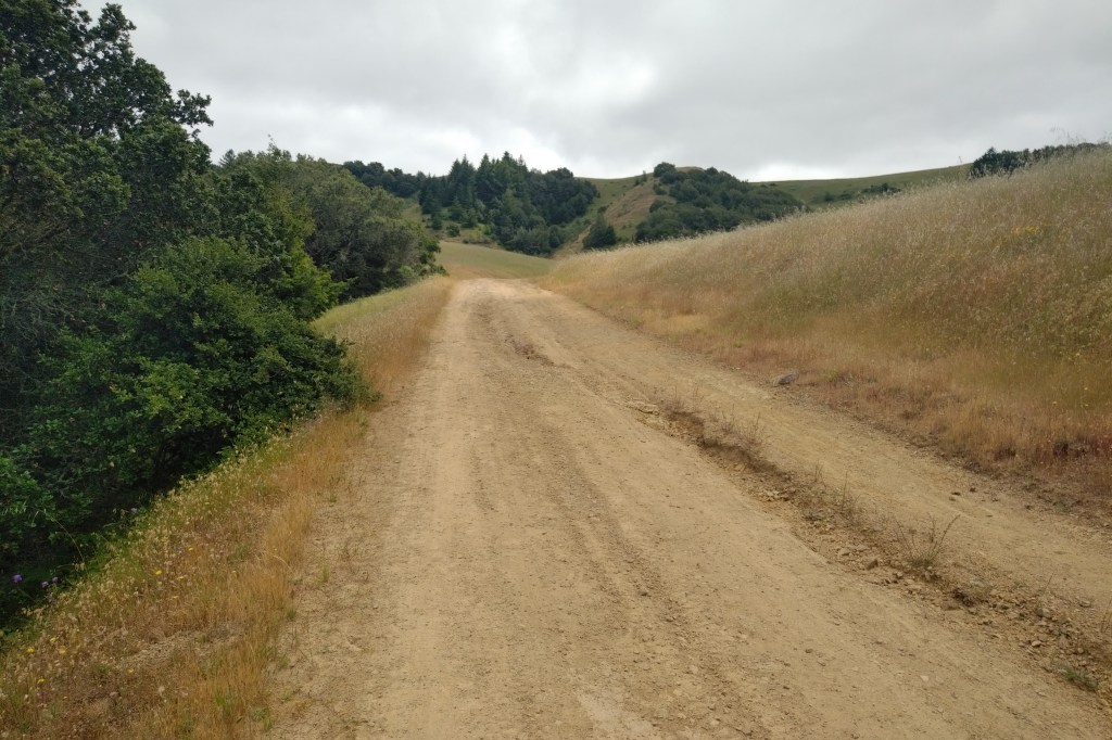
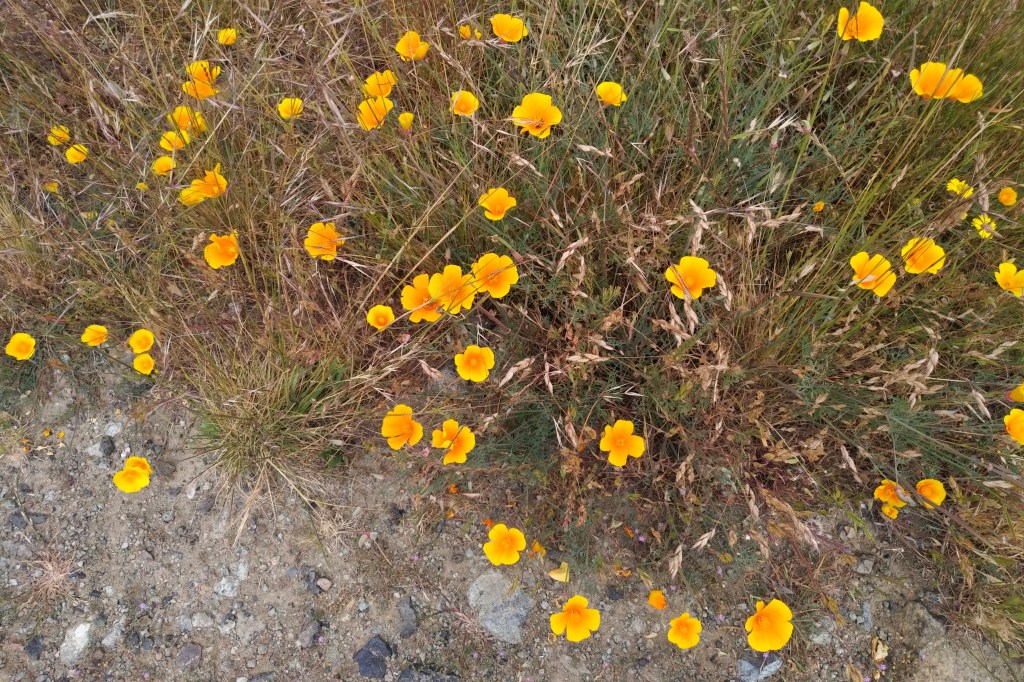
At this time, in Spring of 2023, the hills still had plenty of green in them and the wildflowers are in bloom to the cheer the soul.
Access to Loma Alta is through private property, but there is a public easement that allows access to hikers and cyclists. The private property is clearly fenced and posted along the way.
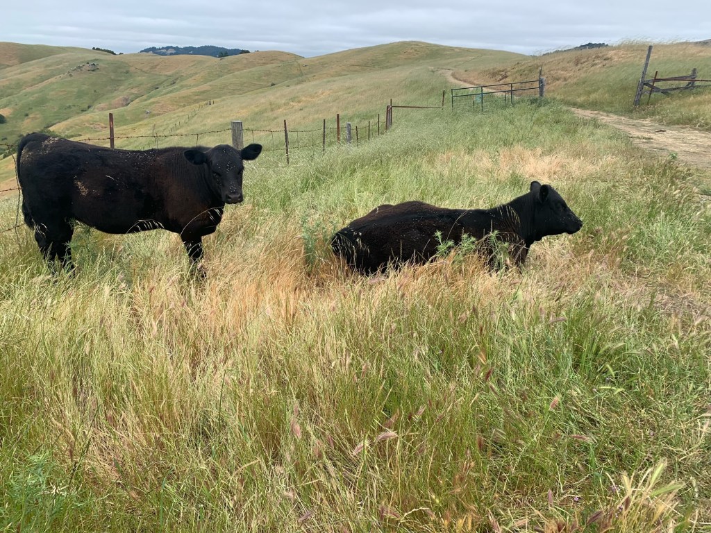
There is ranching going on here. Don’t be surprised if you encounter cattle and cowboys along the way to the summit.
The road up does have some steep sections but also levels off in places to give you a break. The final section to the summit is steep but fairly short.
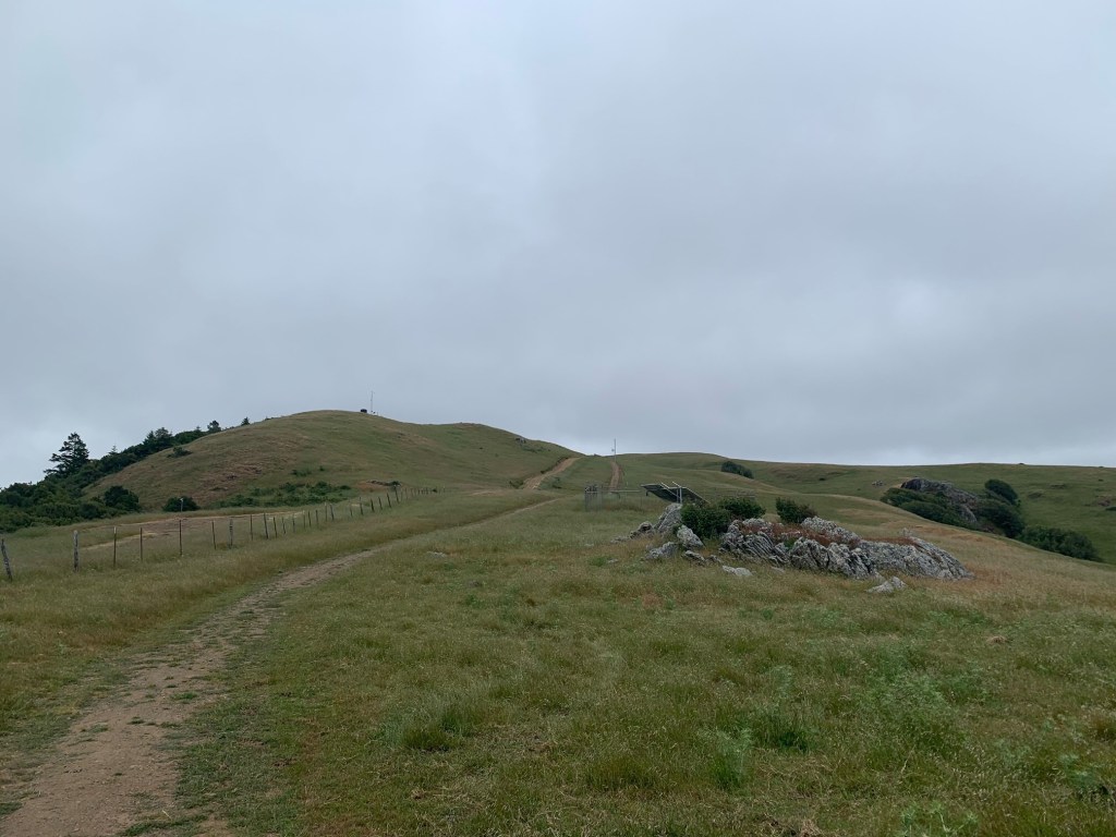
The activation zone encompasses two gently rounded summits separated by a shallow col.
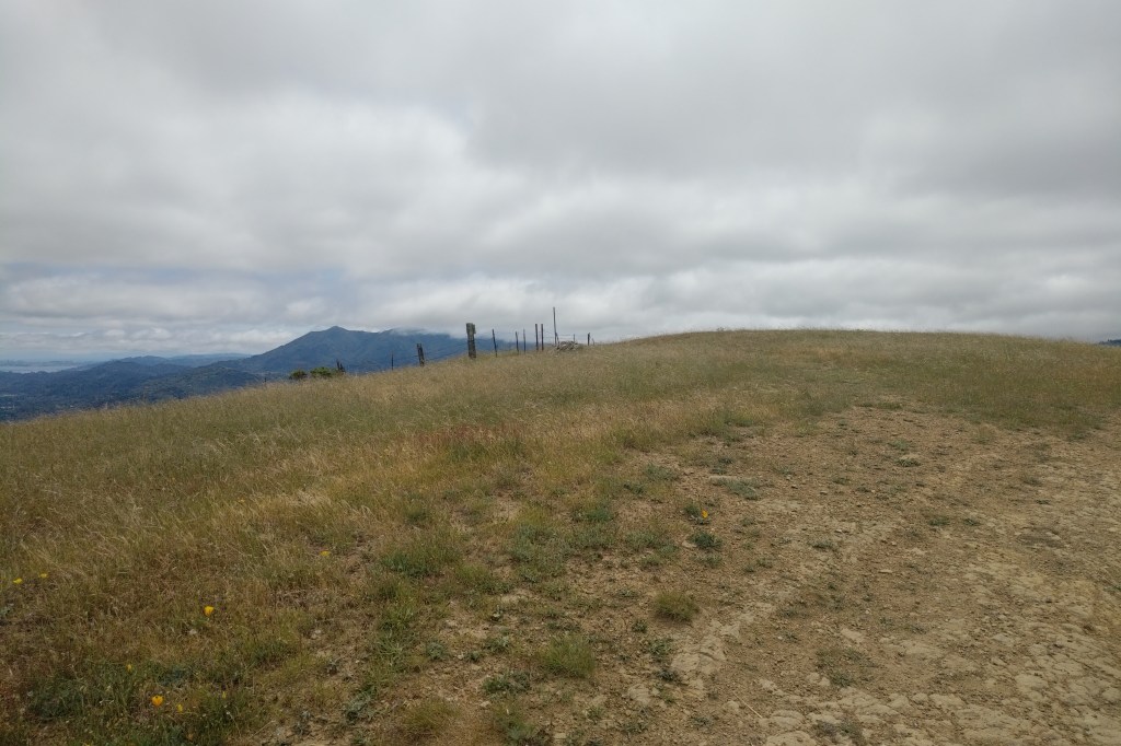
There are no trees in the AZ for antenna support. I wasn’t certain about the availability of fence posts for mounting a mast , so I brought along my tripod mount and base loaded vertical “manpack” antenna.

Even under marine layer overcast, the views from the top of Loma Alta are expansive. Layered clothing is recommended as the wind coming over the coast range is quite chilly up here.
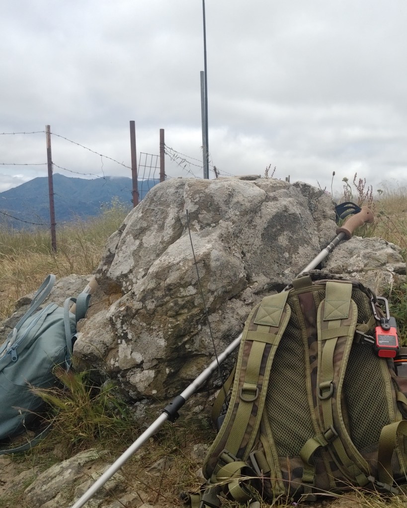
We dropped our packs and enjoyed some snacks and hydration before getting to the business of radio.
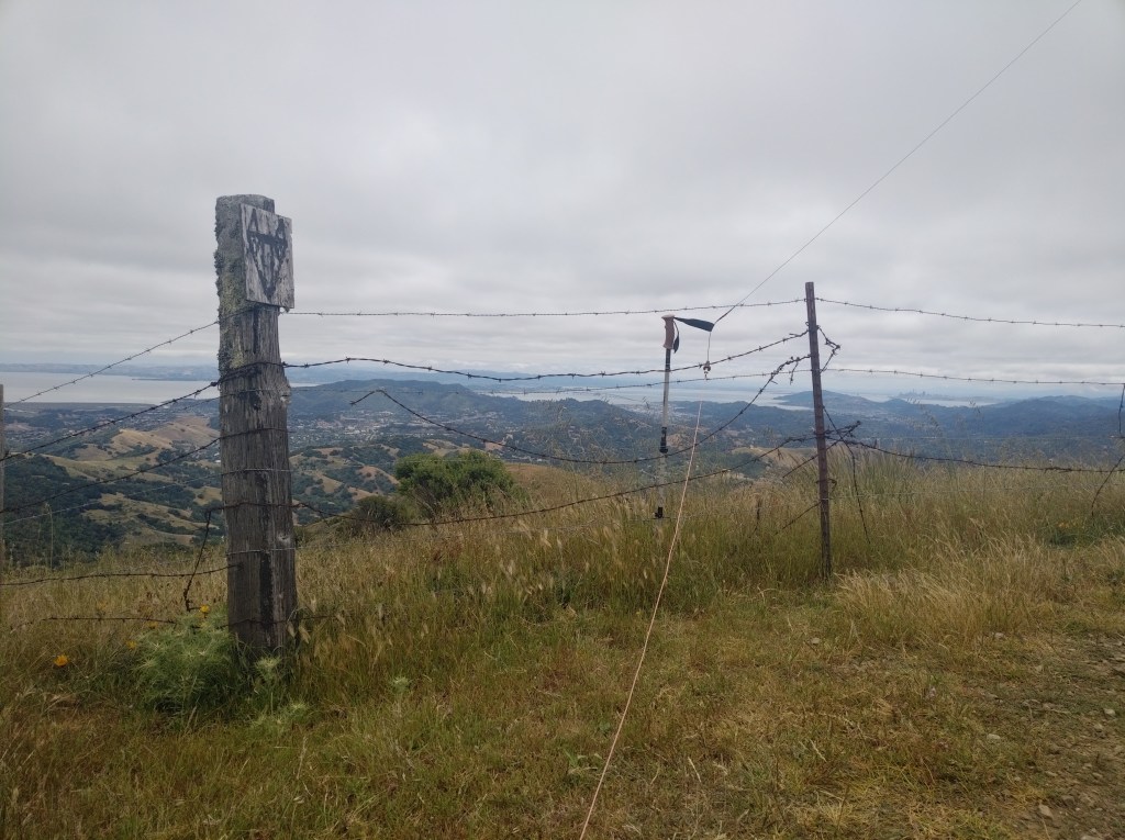
The fencing is a mix of weathered wood posts and rusty T-posts, all covered with some nasty looking barbed wire.
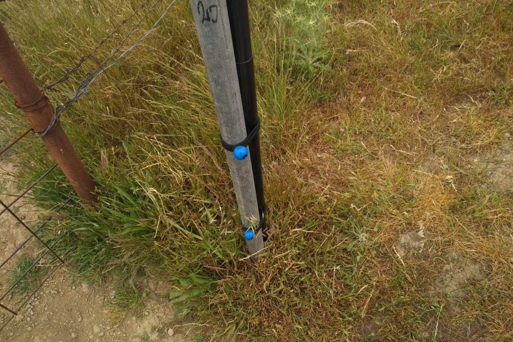
If it weren’t for the presence of a galvanized steel pole, I would have deployed the tripod vertical instead of the EFHW and Spiderbeam mast.
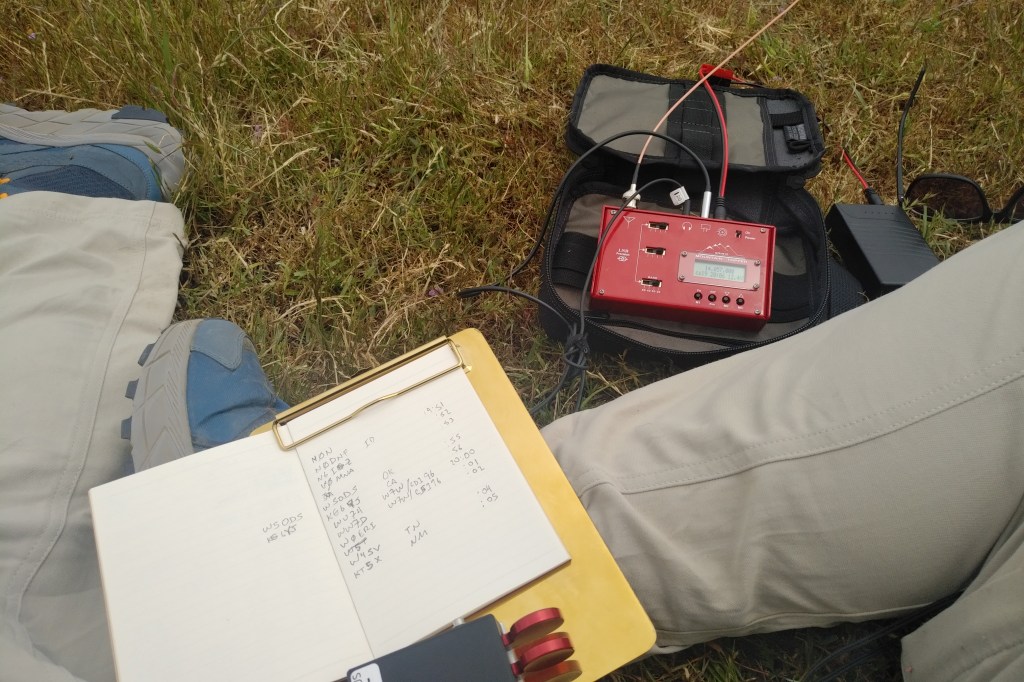
I spotted myself using Sotamāt at 19:47z and the first call from N0DNF came in at 19:51z. Within the next 4 minutes the activation was valid.
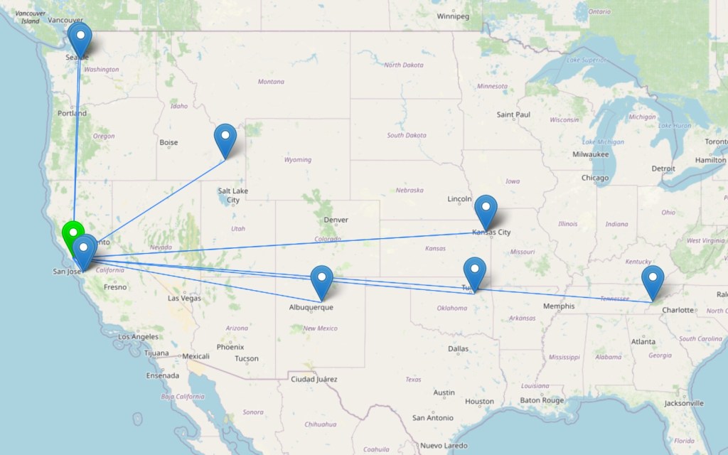
I continued for a total of 10 QSOs, including the familiar duos of W0MNA with W0ERI in Kansas and WW7D with WU7H operating from Chumstick Mountain in Washington state, W7W/CH-196.

Heading back down the mountain, we encountered another herd of cautious bovines. No problem as long as we all kept our distance.

Blue skies began to break through the overcast toward the end of the hike, giving the hillsides a more chromatically vibrant appearance with light and shadow moving across the landscape.

Leave a comment