Richardson East Benchmark is the name given to the Summits On The Air (SOTA) peak located in the Marin Headlands above Sausalito, California and just north of the Golden Gate Bridge.
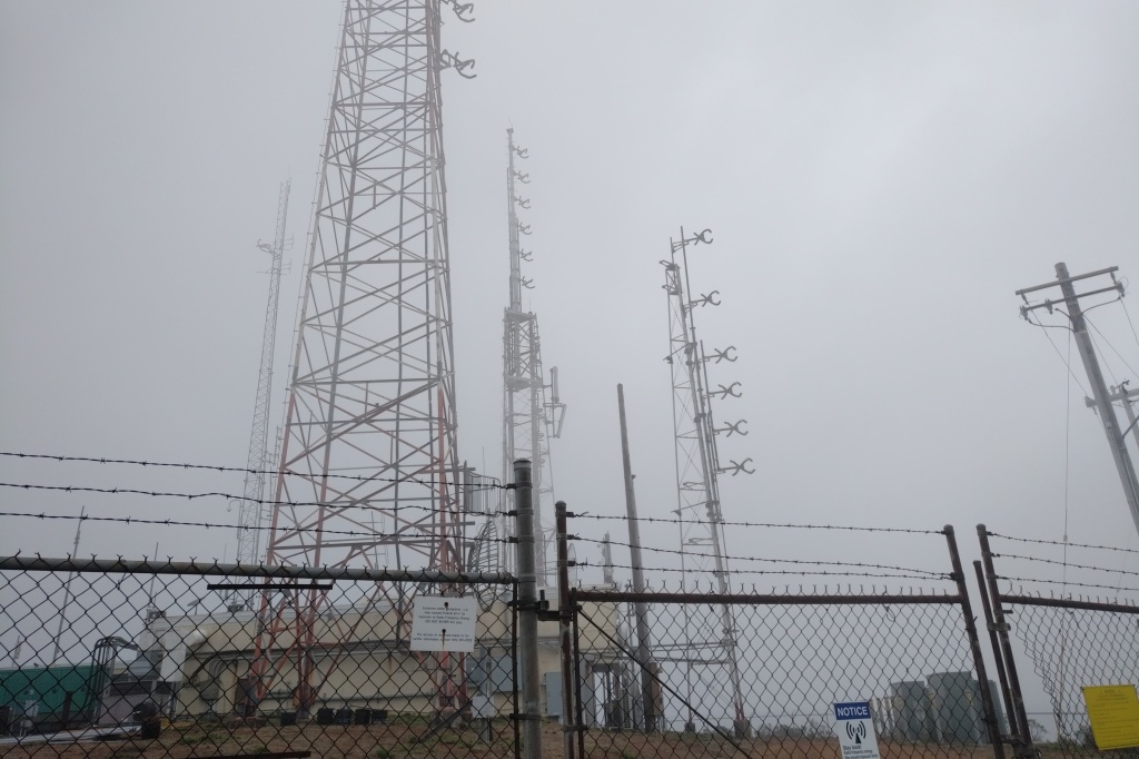
The prominence, at an elevation of 1,111 feet (339 meters) makes it a good spot to locate some commercial service and broadcast towers, with line of sight to most of the cities located around San Francisco Bay.

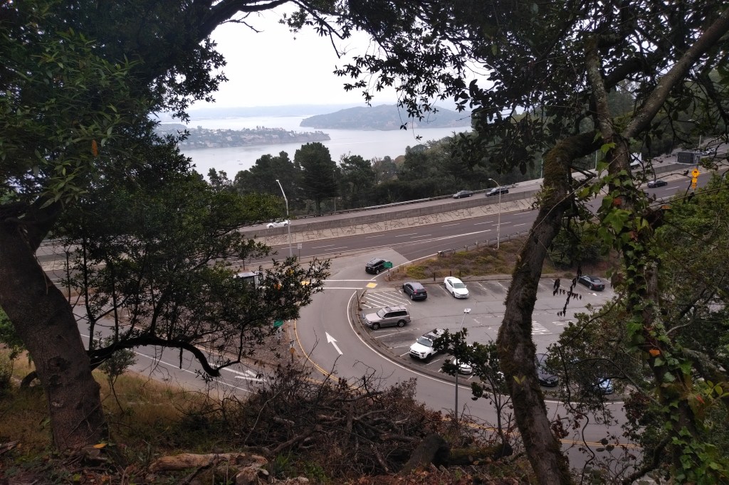
Limited parking is available at the commuter lot at the Spencer Avenue offramp from highway 101 Southbound in Sausalito. When I arrived at 9 am on a mid-September Saturday morning, the lot was about half full already.
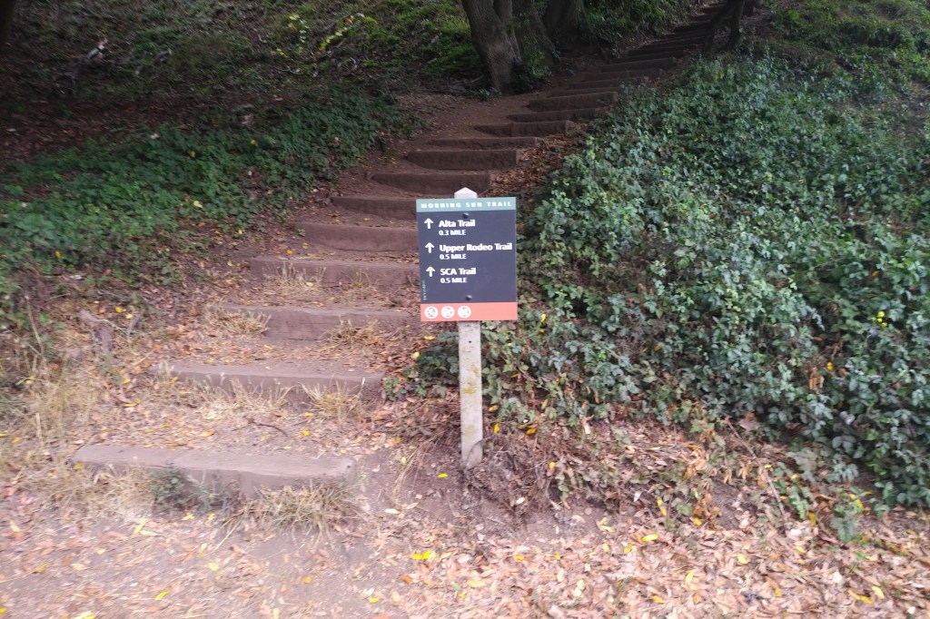
Access to the peak, designated W6/NC-407 for SOTA, starts at the Morning Sun trailhead, just across the road from the parking lot.
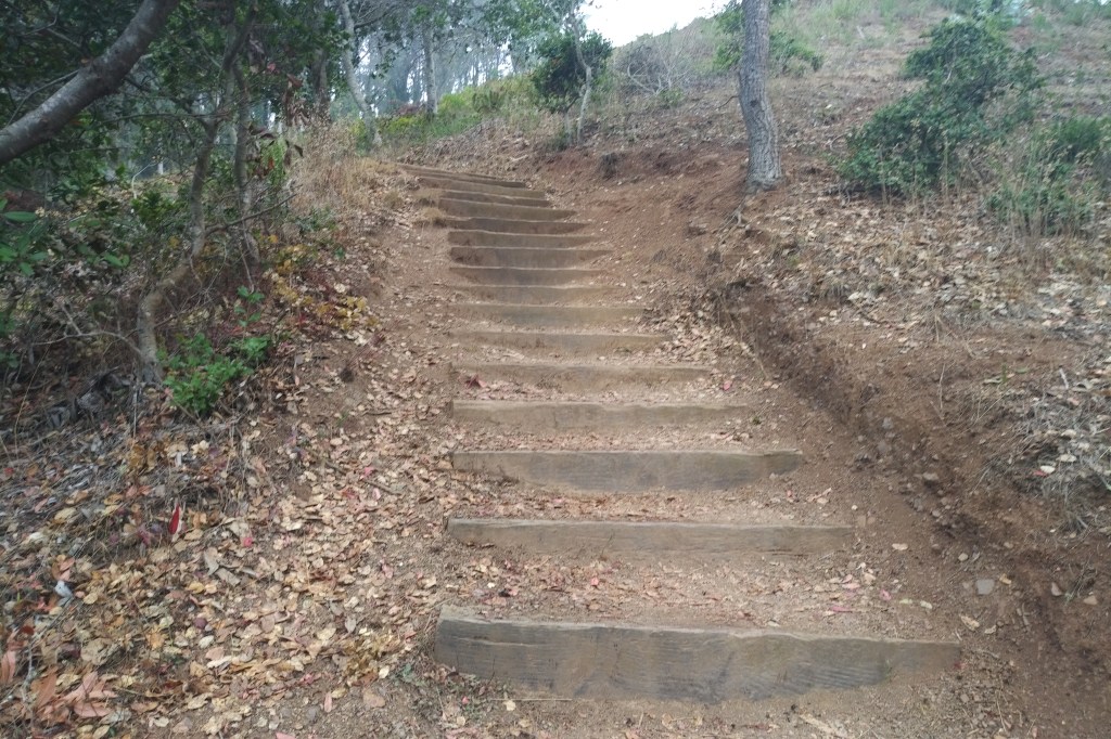
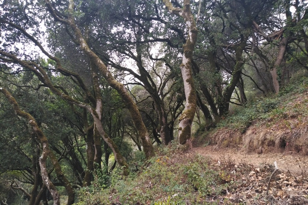
The Morning Sun trail climbs steeply on a series of switchbacks through a dry environment full of oak trees and plenty of poison oak.
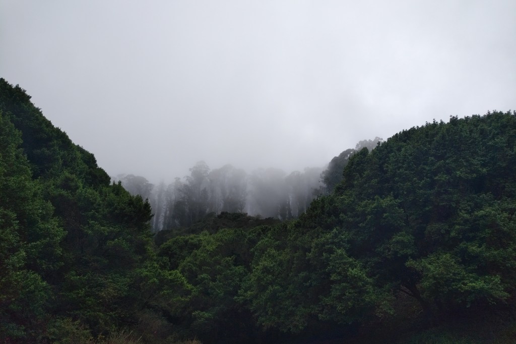
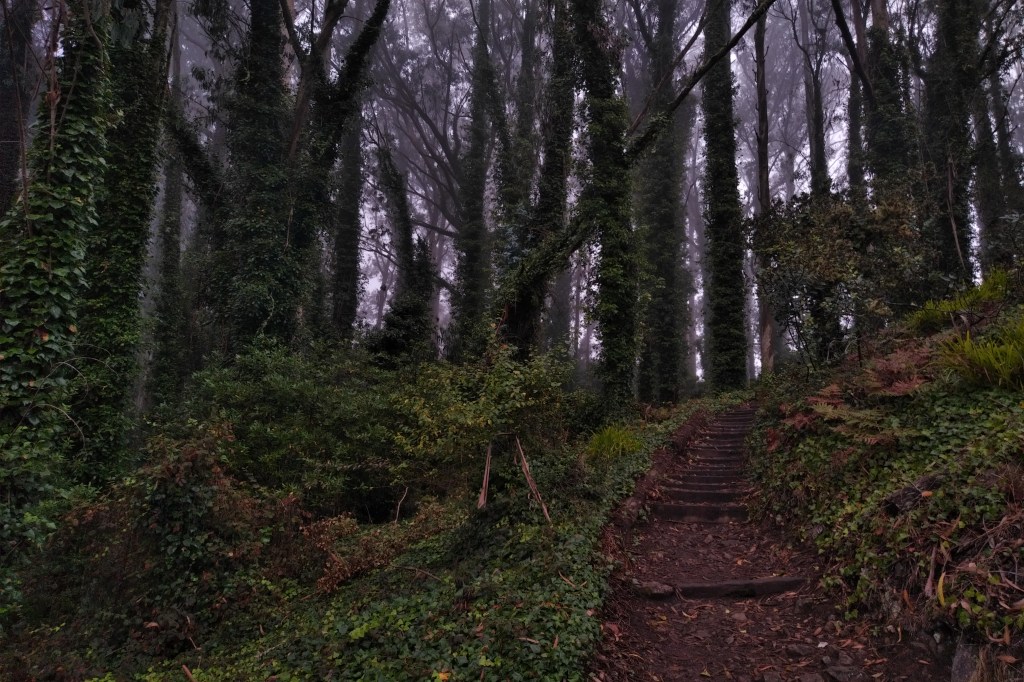
As the trail nears the intersection with the Alta trail, you enter a rainforest zone where tall eucalyptus trees filter the dense coastal stratus and drop the water as rain. The trail and road get very slick and muddy here.
A left turn at the Alta trail/fire road takes you on a short walk through sloppy mud to where Wolfback Ridge road meets the SCA trail and the access road for the radio facilities at the top of the hill.


Turn right and heading uphill you go past the locked gate and follow the access road for a moderate climb to the summit. The road ends at the fenced off radio towers.
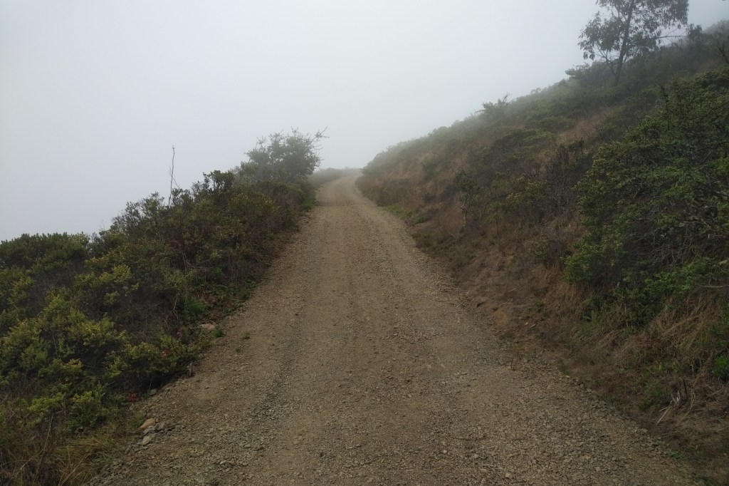
The Marin Headlands sometimes offers the hiker some incredible views of the Golden Gate, San Francisco Bay, and west to the Pacific ocean. However today the only view featured Northern California’s infamous coastal stratus.

Here I followed a small trail clockwise around the fence to a more open area in the activation zone, northwest of the towers. I chose a small boulder about 30 feet from the fence as my activation point.


The rock provided a small windbreak and there was a reasonably comfortable place to sit next to it.

I assumed the ground here would be fairly hard, which it is, and I didn’t want to setup right next to the fence, so I deployed my tripod mounted, loaded vertical for 20 meters.

I carried only the Mountaintopper MTR-4b and my Yaesu FT-60 so 20 meters was as high as I was going on HF.
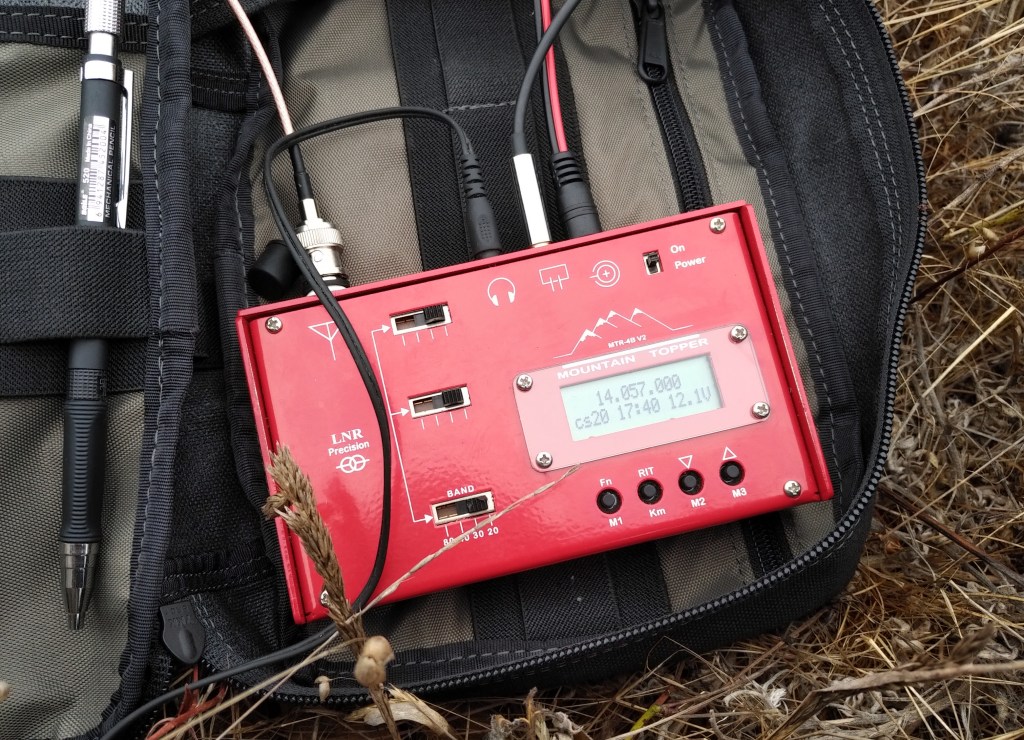
Being so close to the radio towers, I could hear the stations being picked up in the MTR-4b, so I got to learn about best place for low priced carpet and other commercial messages as I was validating the activation on CW.

After seven QSOs on 14 MHz, I adjusted the antenna for 30 meters to see if I could make some more contacts there, but the noise level on 10 Mhz was extremely high and I couldn’t hear any CW signals.
Satisfied with the HF contacts, I packed the CW station away, spotted myself on 146.520 FM and gave a few calls with no replies.
However, when I was putting my HT into my backpack for the hike back down I had left the radio on and heard a station calling me, so I pulled the radio out of my pack again to answer.

It turns out the RF energy from the broadcast tower was strong enough to cause desensitization of the FT-60 and I could only hear the other station when I crouched down and held the HT close to the ground. Apparently he could hear all my calls, I just couldn’t hear him!
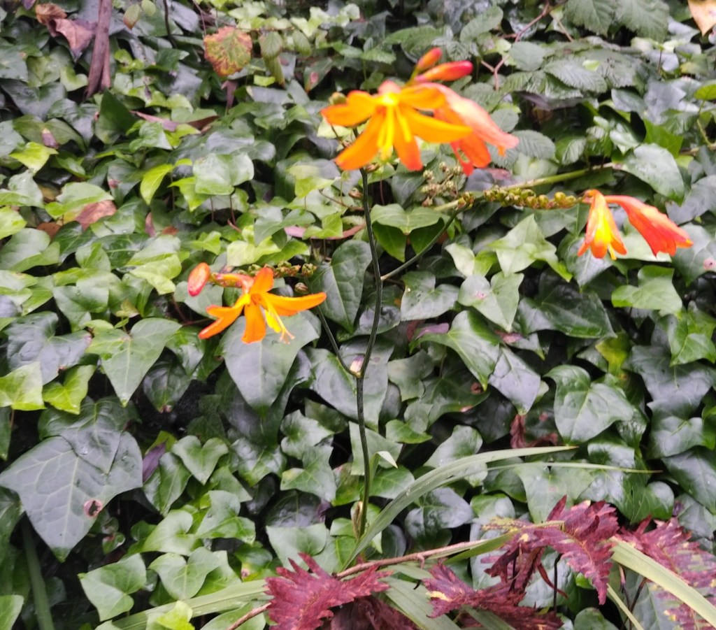
Walking back through the rainforest, I observed all sorts of colorful flora that I was too busy to notice going uphill.

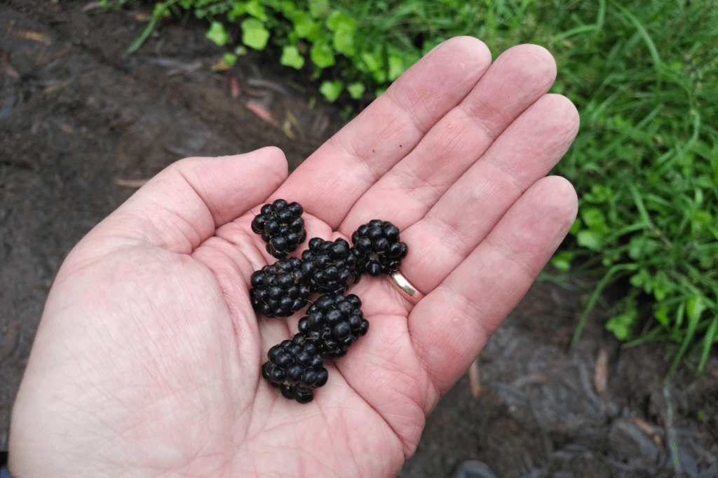
I even found a little patch of blackberries that had a few ripe ones still.
Descending the hill was much easier than the hike up, obviously, and I was back to the parking lot in about 30 minutes.
73 de W6CSN

Leave a comment